Views of the Earth

artificial images of our real planet
The Andaman Islands Mount Ararat The Dzungarian Gate 1 The Dzungarian Gate 2 The Mediterranean Sea from northeast Mount Damavand Alborz Mountains The Afar Triangle The Ethiopian Rift Valley The Himalaya in Nepal The Strait of Hormuz The Strait of Hormuz 2 The Musandam Peninsula The Himalaya The Indus River 1 The Indus River 2 The Nanga Parbat The Deosai Plains Southern Yemen 1 Southern Yemen 2 Southern Yemen 3 The Sayan Mountains The Kali Gandaki Gorge The Khunjerab Pass The Karakoram from south The western Karakoram Mountains The K2 The Kashmir Valley from the east The Kashmir Valley from the south From Ladakh towards the Karakoram Mountains Ladakh and the upper Indus river The eastern Mediterranean Sea Closeup view of Mount Damavand The Central Alborz Mountains The Takht-e Soleyman Massif Northern Iran Northern Oman The Jabal Akhdar Mountains The Kongur Shan Mountains and the Eastern Taklamakan The Fedchenko Glacier The northern Pamir and the Fedchenko Glacier The Pamir Plateau Kongur Tagh and Muztagh Ata The Sinai from East Kanyakumari/Cape Comorin The south end of India The Wakhan Corridor Caucasus Mountains The Zagros Mountains Zard-Kuh The Zagros Mountains from east The Southern Zagros Mountains 2 Lake Manasarovar and Rakshastal Poon Hill panorama Mustang The Kali Gandaki Gorge from north Georgia and the Western Caucasus Middle East India
Central Asia location map

Map based image search - Central Asia

Click on the map to zoom into a certain region.

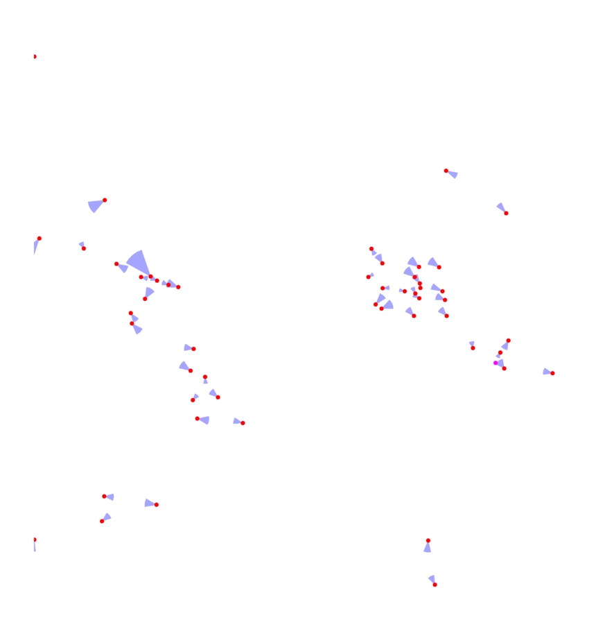
The view locations are marked on the map with dots - red for normal perspective views, magenta for panoramas. The blue sectors indicate the view direction, angle and distance - large sectors indicate high altitude views, small sectors closeups. Click on the dots to see the images.

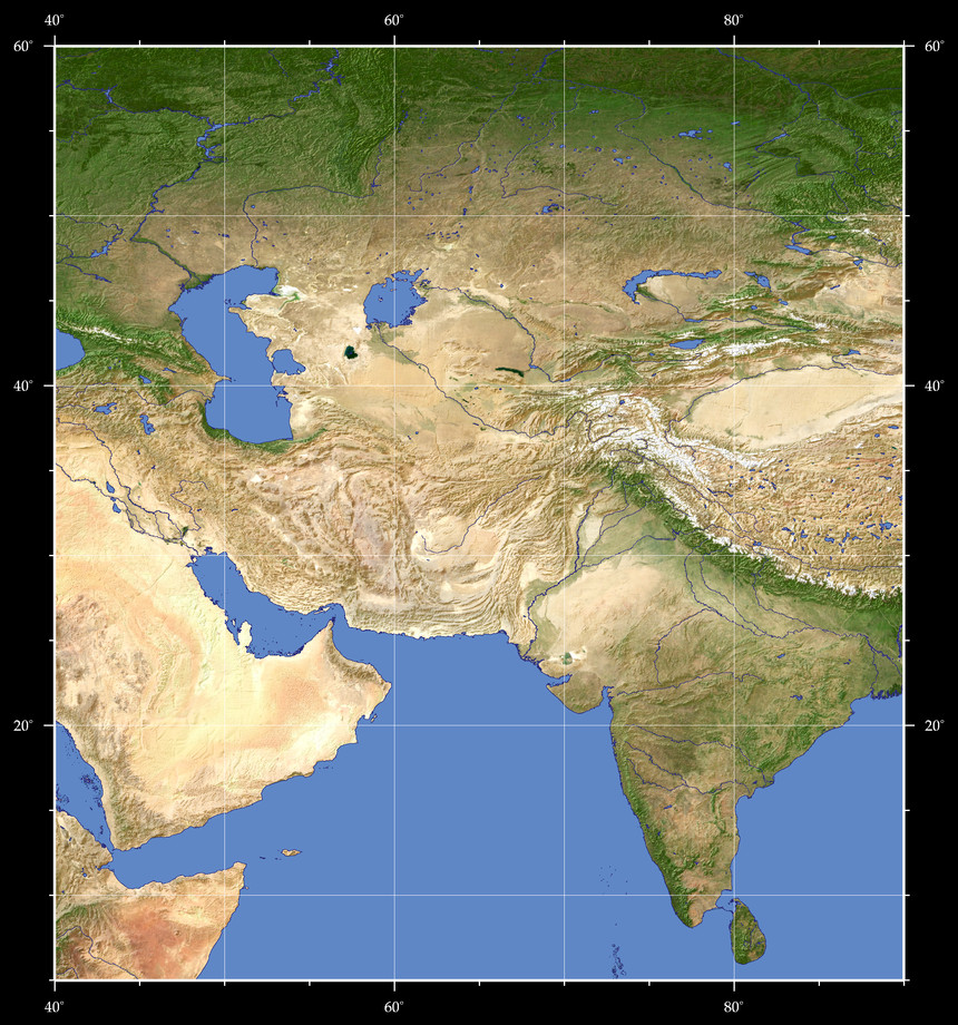
Map Style: Visible Topography
--
Design and Content Copyright 2023 by Christoph Hormann
last updated Sun, 16 Jul 2023 20:38