Related Views:
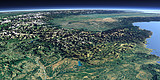
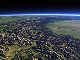
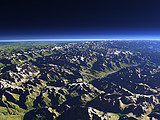
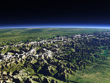

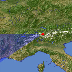
The Rhône River originates from the Rhône glacier on the right of this view (not directly visible from this perspective) and flows through the Valais between the snow covered peaks of the Pennine Alps (left) and the Bernese Alps (right). In the background, north of the Mont Blanc the course of the Rhône turns north and it enters into the Lake Geneva (far right). In the very near foreground the upmost tributaries of the Rhine river can be seen.
| View: | The upper Rhône River |
| Location: | Lon 9.378° Lat 46.702° |
| Altitude: | 21.863 km |
| Direction: | 249° |
| Camera Angle: | 43° |
| User Rating: | 2.8 |
Visitor comments:
By submitting your comment you agree to the privacy policy and agree to the information you provide (except for the email address) to be published on this website.