Related Views:
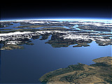

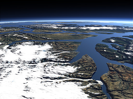
The Queen Elizabeth Islands are the northmost islands in Canada and for a large part of the year mostly covered by snow and ice. This view shows most of the Islands with Ellesmere Island - the largest - in the foreground, Axel Heiberg Island behind and in the background among others Cornwall Island, Amund Ringnes Island, Ellef Ringnes Island and Meighen Island.
| View: | The Queen Elizabeth Islands |
| Location: | Lon -69.01° Lat 81.091° |
| Altitude: | 59 km |
| Direction: | 240° |
| Camera Angle: | 37° |
| User Rating: | 2.3 |
Visitor comments:
no comments yet.
By submitting your comment you agree to the privacy policy and agree to the information you provide (except for the email address) to be published on this website.