Hokkaido
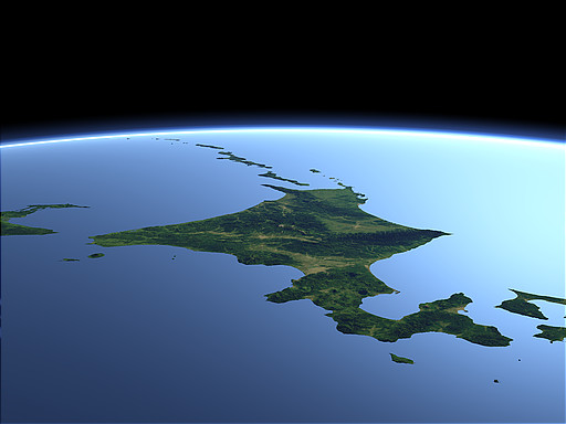
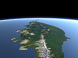
Hokkaido is the northmost of the large Japanese islands and features a unique four-cornered shape. In the south it is separated from Honshu by the Tsugaru Strait and on the north it edges to the Kuril Islands in the background and Sakhalin on the left.
| View: | Hokkaido |
| Location: | Lon 133.334° Lat 41.552° |
| Altitude: | 329 km |
| Direction: | 76° |
| Camera Angle: | 40° |
| User Rating: | 2.5 |
Location Map: Visible Topography

Home •
Impressum •
Terms •
Sitemap •
Browse:
list
/
map /
gallery •

imagico.de • blog.imagico.de • services.imagico.de • maps.imagico.de • earth.imagico.de • photolog.imagico.de
imagico.de • blog.imagico.de • services.imagico.de • maps.imagico.de • earth.imagico.de • photolog.imagico.de

Visitor comments:
no comments yet.
By submitting your comment you agree to the privacy policy and agree to the information you provide (except for the email address) to be published on this website.