The upper Yenisei
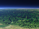
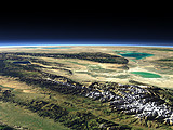
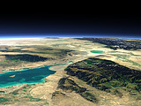
Before it crosses the Sayan Mountains (foreground right) the Yenisei river flows through the mountain valleys near the border between Russia and Mongolia. Behind the Tannu-Ola Mountains lies the Uvs Nuur lake and the increasingly dry mountains and plains of Mongolia.
| Ansicht: | The upper Yenisei |
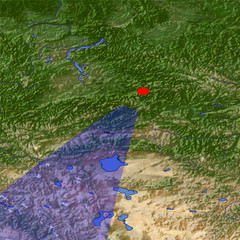
| Position: | Lon 94.102° Lat 53.284° |
| Höhe: | 39 km |
| Richtung: | 205° |
| Kamerawinkel: | 34° |
| Bewertung: | 2.3 |
Umgebungskarte: Optisch Topographie

Start •
Impressum •
Nutzungsbedingungen •
Sitemap •
Bilder:
Liste
/
Karte /
Galerie •

imagico.de • blog.imagico.de • services.imagico.de • maps.imagico.de • earth.imagico.de • photolog.imagico.de
imagico.de • blog.imagico.de • services.imagico.de • maps.imagico.de • earth.imagico.de • photolog.imagico.de


Kommentare:
noch keine Kommentare.
Durch das Abschicken Ihres Kommentars stimmen Sie der Datenschutzrichtlinie zu und erlauben, dass die eingegebenen Informationen (mit Ausnahme der eMail-Adresse) in diesem Blog veröffentlicht werden.