The K2
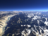
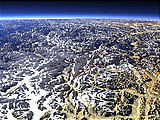
The second highest mountain on earth, the K2 (8611m) is accompanied on the east by several other high peaks - the Broad Peak (8047m) and the Gasherbrum Range (further right). In the foreground the Baltoro Glacier (from right) and the Godwin-Austen Glacier (from back) meet forming 'Concordia' from where most photographs of the K2 are taken.
| View: | The K2 |
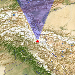
| Location: | Lon 76.567° Lat 35.479° |
| Altitude: | 13 km |
| Direction: | 358° |
| Camera Angle: | 38° |
| User Rating: | 2.9 |
Location Map: Visible Topography
Home •
Impressum •
Terms •
Sitemap •
Browse:
list
/
map /
gallery •

imagico.de • blog.imagico.de • services.imagico.de • maps.imagico.de • earth.imagico.de • photolog.imagico.de
imagico.de • blog.imagico.de • services.imagico.de • maps.imagico.de • earth.imagico.de • photolog.imagico.de


Visitor comments:
the pictures are good - but please post pictures that show the majesty and grandeur of the mountains, like the Pakistan site showing nanga parbat...
Your pics are amazing.
If you ever come to valley--do mail me plz
i am a journalist and i wish to talk to someone-
whoz got magic in his eyes and selection taste.
amazing
By submitting your comment you agree to the privacy policy and agree to the information you provide (except for the email address) to be published on this website.