The Antarctic Peninsula
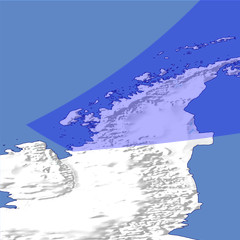
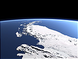
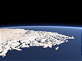
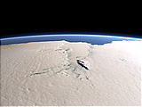
The Antarctic Peninsula is the northmost part of the Antarctic continent and the most visited part with several research stations and frequent tourist cruises visiting during the southern summer. This view shows the peninsula from the southwest with various islands off the west coast and the Larsen Ice Shelf in the east.
| Ansicht: | The Antarctic Peninsula |
| Position: | Lon -75.685° Lat -69.83° |
| Höhe: | 149 km |
| Richtung: | 52° |
| Kamerawinkel: | 44° |
| Bewertung: | 2.3 |
Umgebungskarte: Optisch Topographie

Start •
Impressum •
Nutzungsbedingungen •
Sitemap •
Bilder:
Liste
/
Karte /
Galerie •

imagico.de • blog.imagico.de • services.imagico.de • maps.imagico.de • earth.imagico.de • photolog.imagico.de
imagico.de • blog.imagico.de • services.imagico.de • maps.imagico.de • earth.imagico.de • photolog.imagico.de


Kommentare:
noch keine Kommentare.
Durch das Abschicken Ihres Kommentars stimmen Sie der Datenschutzrichtlinie zu und erlauben, dass die eingegebenen Informationen (mit Ausnahme der eMail-Adresse) in diesem Blog veröffentlicht werden.