Victoria Land
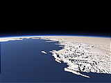
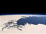
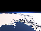
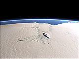
Victoria Land is the part of the Eastern Antarctic edging to the Ross Sea in the foreground. The far tip of the peninsula in the right is Cape Adare which has been an important base for early Antarctic exploration. Between the mountains of Victoria Land there are several large glaciers draining directly into the Ross Sea.
| Ansicht: | Victoria Land |
| Position: | Lon 173.426° Lat -76.748° |
| Höhe: | 149 km |
| Richtung: | 340.7° |
| Kamerawinkel: | 40° |
| Bewertung: | 2.5 |
Umgebungskarte: Optisch Topographie

Start •
Impressum •
Nutzungsbedingungen •
Sitemap •
Bilder:
Liste
/
Karte /
Galerie •

imagico.de • blog.imagico.de • services.imagico.de • maps.imagico.de • earth.imagico.de • photolog.imagico.de
imagico.de • blog.imagico.de • services.imagico.de • maps.imagico.de • earth.imagico.de • photolog.imagico.de


Kommentare:
noch keine Kommentare.
Durch das Abschicken Ihres Kommentars stimmen Sie der Datenschutzrichtlinie zu und erlauben, dass die eingegebenen Informationen (mit Ausnahme der eMail-Adresse) in diesem Blog veröffentlicht werden.