Zard-Kuh
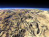
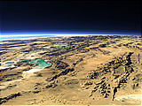
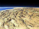
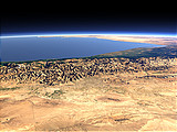
The Zard-Kuh is the highest peak of the Zagros Mountains in Iran with an altitude of 4200m. This view shows the mountain on the foreground left with the southern Zagros Mountains in the background.
| Ansicht: | Zard-Kuh |
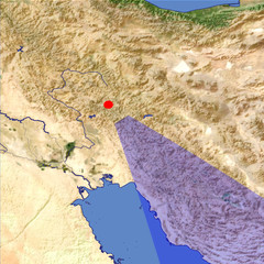
| Position: | Lon 49.15° Lat 33.092° |
| Höhe: | 39 km |
| Richtung: | 145° |
| Kamerawinkel: | 40° |
| Bewertung: | 3.0 |
Umgebungskarte: Optisch Topographie
Start •
Impressum •
Nutzungsbedingungen •
Sitemap •
Bilder:
Liste
/
Karte /
Galerie •

imagico.de • blog.imagico.de • services.imagico.de • maps.imagico.de • earth.imagico.de • photolog.imagico.de
imagico.de • blog.imagico.de • services.imagico.de • maps.imagico.de • earth.imagico.de • photolog.imagico.de


Kommentare:
noch keine Kommentare.
Durch das Abschicken Ihres Kommentars stimmen Sie der Datenschutzrichtlinie zu und erlauben, dass die eingegebenen Informationen (mit Ausnahme der eMail-Adresse) in diesem Blog veröffentlicht werden.