Related Views:
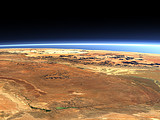
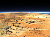
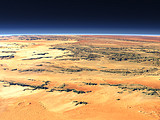
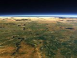

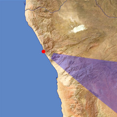
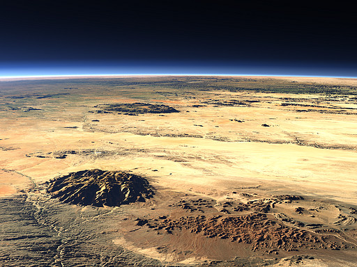
The Brandberg is an intrusion in the Namib desert in western Namibia with a diameter of about 15km and with 2573m height the highest point in Namibia. Southwest of it the Messum Crater and behind the Erongo Mountains.
| View: | The Brandberg Massif |
| Location: | Lon 13.363° Lat -20.759° |
| Altitude: | 39 km |
| Direction: | 116° |
| Camera Angle: | 34° |
| User Rating: | 2.6 |
Visitor comments:
these are very nice
By submitting your comment you agree to the privacy policy and agree to the information you provide (except for the email address) to be published on this website.