The Brandberg Massif
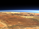
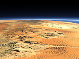
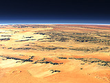
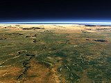
The Brandberg is an intrusion in the Namib desert in western Namibia with a diameter of about 15km and with 2573m height the highest point in Namibia. Southwest of it the Messum Crater and behind the Erongo Mountains.
| Ansicht: | The Brandberg Massif |
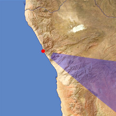
| Position: | Lon 13.363° Lat -20.759° |
| Höhe: | 39 km |
| Richtung: | 116° |
| Kamerawinkel: | 34° |
| Bewertung: | 2.6 |
Umgebungskarte: Optisch Topographie
Start •
Impressum •
Nutzungsbedingungen •
Sitemap •
Bilder:
Liste
/
Karte /
Galerie •

imagico.de • blog.imagico.de • services.imagico.de • maps.imagico.de • earth.imagico.de • photolog.imagico.de
imagico.de • blog.imagico.de • services.imagico.de • maps.imagico.de • earth.imagico.de • photolog.imagico.de


Kommentare:
these are very nice
Durch das Abschicken Ihres Kommentars stimmen Sie der Datenschutzrichtlinie zu und erlauben, dass die eingegebenen Informationen (mit Ausnahme der eMail-Adresse) in diesem Blog veröffentlicht werden.