
•
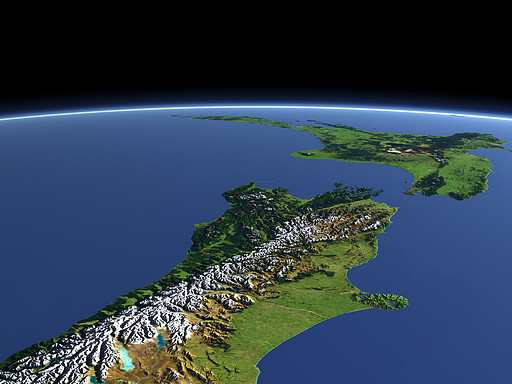
New Zealand
The South Island of New Zealand with the mountain range of the Southern Alps in the foreground and the North Island with several vulcanoes in the background.
| View: | New Zealand |
| Location: | Lon 169.429° Lat -48.466° |
| Altitude: | 329 km |
| Direction: | 16° |
| Camera Angle: | 35° |
| User Rating: | 2.4 |
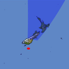
Location Map: Visible Topography
Home •
Impressum •
Terms •
Sitemap •
Browse:
list
/
map /
gallery •

imagico.de • blog.imagico.de • services.imagico.de • maps.imagico.de • earth.imagico.de • photolog.imagico.de
imagico.de • blog.imagico.de • services.imagico.de • maps.imagico.de • earth.imagico.de • photolog.imagico.de
Visitor comments:
You can get real pictures from Nasa, of for that matter Google Earth, of the whole planet.
These artificial images are pretty but sanitised.
I agree with a former emailer that seeing it makes one feel homesick.
I have made my home in Minnesota, U.S.A. but that image brings out so many emotions, precious memories of my childhood growing up in N.Z.
I think it's because the image looks as though you are floating above it, like you are really there, something a flat map could never do.
By submitting your comment you agree to the privacy policy and agree to the information you provide (except for the email address) to be published on this website.