
•
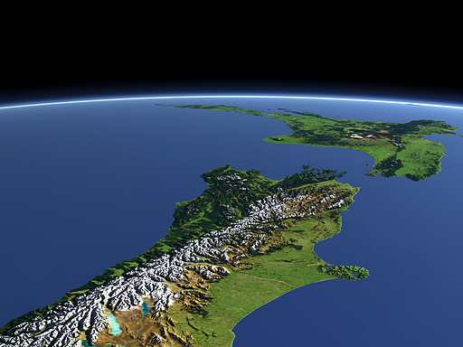
New Zealand
The South Island of New Zealand with the mountain range of the Southern Alps in the foreground and the North Island with several vulcanoes in the background.
| Ansicht: | New Zealand |
| Position: | Lon 169.429° Lat -48.466° |
| Höhe: | 329 km |
| Richtung: | 16° |
| Kamerawinkel: | 35° |
| Bewertung: | 2.4 |
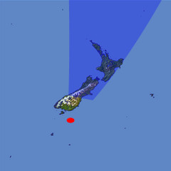
Umgebungskarte: Optisch Topographie
Start •
Impressum •
Nutzungsbedingungen •
Sitemap •
Bilder:
Liste
/
Karte /
Galerie •

imagico.de • blog.imagico.de • services.imagico.de • maps.imagico.de • earth.imagico.de • photolog.imagico.de
imagico.de • blog.imagico.de • services.imagico.de • maps.imagico.de • earth.imagico.de • photolog.imagico.de
Kommentare:
You can get real pictures from Nasa, of for that matter Google Earth, of the whole planet.
These artificial images are pretty but sanitised.
I agree with a former emailer that seeing it makes one feel homesick.
I have made my home in Minnesota, U.S.A. but that image brings out so many emotions, precious memories of my childhood growing up in N.Z.
I think it's because the image looks as though you are floating above it, like you are really there, something a flat map could never do.
Durch das Abschicken Ihres Kommentars stimmen Sie der Datenschutzrichtlinie zu und erlauben, dass die eingegebenen Informationen (mit Ausnahme der eMail-Adresse) in diesem Blog veröffentlicht werden.