Views of the Earth

artificial images of our real planet
Ladakh and the upper Indus river location map

Ladakh and the upper Indus river

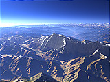
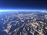
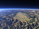
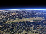
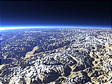
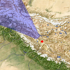
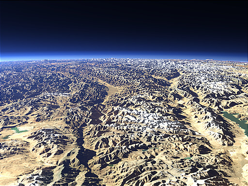
The region of Ladakh in the Indian part of Kashmir is a high mountain plateau around the course of the upper Indus river in the center of this view. The plateau, situated between the Himalayas and the Karakoram, contains various smaller mountain ranges as well as several lakes.

View: Ladakh and the upper Indus river
Location: Lon 79.052°
Lat 32.825°
Altitude: 39 km
Direction: 317°
Camera Angle: 42°
User Rating: 2.5
Location Map:    Visible Topography
Ladakh and the upper Indus river location map
Ladakh and the upper Indus river

Related Views:

The Nanga Parbat
The Deosai Plains
The Kashmir Valley from the east
The Kashmir Valley from the south
From Ladakh towards the Karakoram Mountains

Visitor comments:

no comments yet.

Leave a comment
You have to enable Javascript to be able to write comments.
human verification Please enter the code you can see in the image on the left to verify you are a human and not a spamming script.
* * Required field
Information about you
*
will not be made public
will be displayed with your posting
Your comment (no HTML)

*

If you want to send a private message to the author of this website you can do so via Email.

The comments will be reviewed before they are added to the site. So you might need to wait some time until your entry turns up.

Please note this comment function is intended for commenting on the text and images, not for discussing political or religious views. Comments with no relation to the content of this site will not be approved.

By submitting your comment you agree to the privacy policy and agree to the information you provide (except for the email address) to be published on this website.

  
Design and Content Copyright 2023 by Christoph Hormann
last updated Sun, 16 Jul 2023 20:38