Related Views:

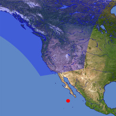
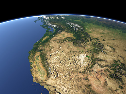
The Western United States feature a very large bandwidth of land forms and colors. On the right at the Pacific coast the California Central Valley can be seen, west of it the Sierra Nevada. On the right the Colorado River, the Rocky Mountains and the Great Salt Lake. In the far background the snow covered mountains of Canada.
| View: | Western USA |
| Location: | Lon -112.668° Lat 21.173° |
| Altitude: | 2829 km |
| Direction: | 348° |
| Camera Angle: | 30° |
| User Rating: | 2.7 |
Visitor comments:
By submitting your comment you agree to the privacy policy and agree to the information you provide (except for the email address) to be published on this website.