The Kali Gandaki Gorge
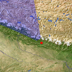
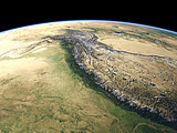
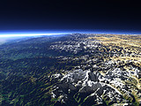
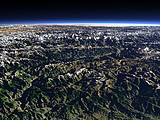
The Kali Gandaki Gorge cuts through the main ridge of the Himalaya Mountains between the Annapurna (8091m) and the Dhaulagiri (8167m) Mountains. This view shows the valley from the east coming from the Tibet Plateau on the right, passing between Annapurna in the foreground and Dhaulagiri in the background until it reaches the plains of southern Nepal on the far left. The Gandaki River later joins the Ganges in northern India.
| Ansicht: | The Kali Gandaki Gorge |
| Position: | Lon 84.501° Lat 27.849° |
| Höhe: | 39 km |
| Richtung: | 324° |
| Kamerawinkel: | 53° |
| Bewertung: | 2.6 |
Umgebungskarte: Optisch Topographie

Start •
Impressum •
Nutzungsbedingungen •
Sitemap •
Bilder:
Liste
/
Karte /
Galerie •

imagico.de • blog.imagico.de • services.imagico.de • maps.imagico.de • earth.imagico.de • photolog.imagico.de
imagico.de • blog.imagico.de • services.imagico.de • maps.imagico.de • earth.imagico.de • photolog.imagico.de


Kommentare:
noch keine Kommentare.
Durch das Abschicken Ihres Kommentars stimmen Sie der Datenschutzrichtlinie zu und erlauben, dass die eingegebenen Informationen (mit Ausnahme der eMail-Adresse) in diesem Blog veröffentlicht werden.