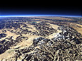
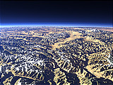
The Kongur Shan Mountains and the Eastern Taklamakan
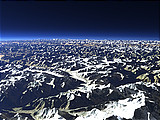
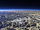
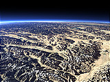
The Kongur Shan Mountains on the left side of this view form the northeastern edge of the Pamir Plateau. Further to the east the Taklamakan Desert begins and the rivers from the mountains form large oases like that of the Yarkand River in the foreground.
| View: | The Kongur Shan Mountains and the Eastern Taklamakan |
| Location: | Lon 78.334° Lat 37.43° |
| Altitude: | 59 km |
| Direction: | 306° |
| Camera Angle: | 44° |
| User Rating: | 2.3 |
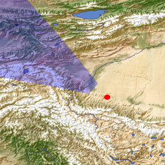
Location Map: Visible Topography
Home •
Impressum •
Terms •
Sitemap •
Browse:
list
/
map /
gallery •

imagico.de • blog.imagico.de • services.imagico.de • maps.imagico.de • earth.imagico.de • photolog.imagico.de
imagico.de • blog.imagico.de • services.imagico.de • maps.imagico.de • earth.imagico.de • photolog.imagico.de


Visitor comments:
By submitting your comment you agree to the privacy policy and agree to the information you provide (except for the email address) to be published on this website.