The Kongur Shan Mountains and the Eastern Taklamakan
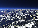
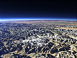
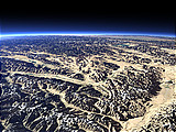
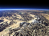
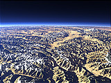
The Kongur Shan Mountains on the left side of this view form the northeastern edge of the Pamir Plateau. Further to the east the Taklamakan Desert begins and the rivers from the mountains form large oases like that of the Yarkand River in the foreground.
| Ansicht: | The Kongur Shan Mountains and the Eastern Taklamakan |
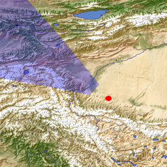
| Position: | Lon 78.334° Lat 37.43° |
| Höhe: | 59 km |
| Richtung: | 306° |
| Kamerawinkel: | 44° |
| Bewertung: | 2.3 |
Umgebungskarte: Optisch Topographie
Start •
Impressum •
Nutzungsbedingungen •
Sitemap •
Bilder:
Liste
/
Karte /
Galerie •

imagico.de • blog.imagico.de • services.imagico.de • maps.imagico.de • earth.imagico.de • photolog.imagico.de
imagico.de • blog.imagico.de • services.imagico.de • maps.imagico.de • earth.imagico.de • photolog.imagico.de


Kommentare:
Durch das Abschicken Ihres Kommentars stimmen Sie der Datenschutzrichtlinie zu und erlauben, dass die eingegebenen Informationen (mit Ausnahme der eMail-Adresse) in diesem Blog veröffentlicht werden.