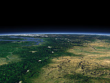
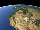
Related Views:

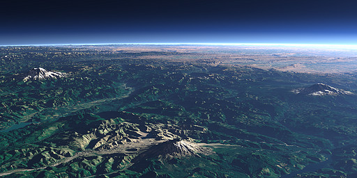
Mount St. Helens in the Cascade Range in the northwestern United States looked much like Mount Rainier (left) and Mount Adams (right) before 1980 when a large vulcanic eruption completely destroyed the mountain top. There has been occasional vulcanic activity on the mountain since then especially in the last two years.
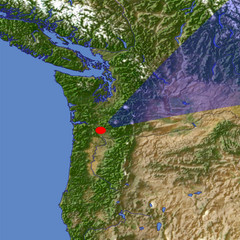
| View: | Mount St. Helens |
| Location: | Lon -122.783° Lat 45.873° |
| Altitude: | 19 km |
| Direction: | 53° |
| Camera Angle: | 42° |
| User Rating: | 2.6 |
Visitor comments:
By submitting your comment you agree to the privacy policy and agree to the information you provide (except for the email address) to be published on this website.