Verwandte Ansichten:
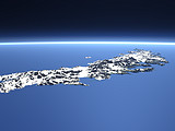

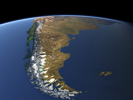
The southern end of South America consists of the mountains in the east, covered with snow and ice and the plains of Patagonia in the south of Argentina. The Strait of Magellan separates the Tierra del Fuego from the mainland. On the right are the Falkland Islands.
| Ansicht: | Patagonia |
| Position: | Lon -74.865° Lat -67.746° |
| Höhe: | 2829 km |
| Richtung: | 10° |
| Kamerawinkel: | 30° |
| Bewertung: | 2.6 |
Kommentare:
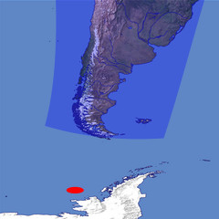
la parte oriental de tierra del fuego y la costa atlantica incluyendo las islas malvinas son argentinas.
la costa del pacifico con las cumbres nevadas y el estrecho de magallanes es de chile.
desertic zones are argentinian, and the british falklands islands¿?
beautifull view but need a fixed comment
Durch das Abschicken Ihres Kommentars stimmen Sie der Datenschutzrichtlinie zu und erlauben, dass die eingegebenen Informationen (mit Ausnahme der eMail-Adresse) in diesem Blog veröffentlicht werden.